The Smell of Molten Projects in the Morning

Ed Nisley's Blog: Shop notes, electronics, firmware, machinery, 3D printing, laser cuttery, and curiosities. Contents: 100% human thinking, 0% AI slop.

Category: Photography & Images

Taking & making images.

  • Monthly Image: All Of My Paperwork Was Up To Par

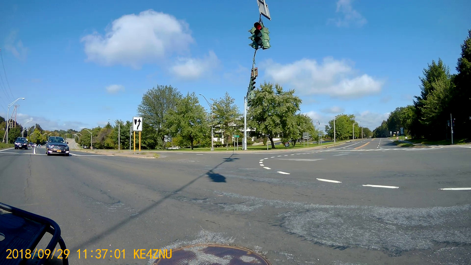
    Although you’ll read cogent advice to Never Talk To Police, somehow I knew this would involve a conversation long before I went around the curve:

    Maloney Rd Incident 1 - 2018-02-27
    Maloney Rd Incident 1 – 2018-02-27

    And it did:

    Maloney Rd Incident 2 - 2018-02-27
    Maloney Rd Incident 2 – 2018-02-27

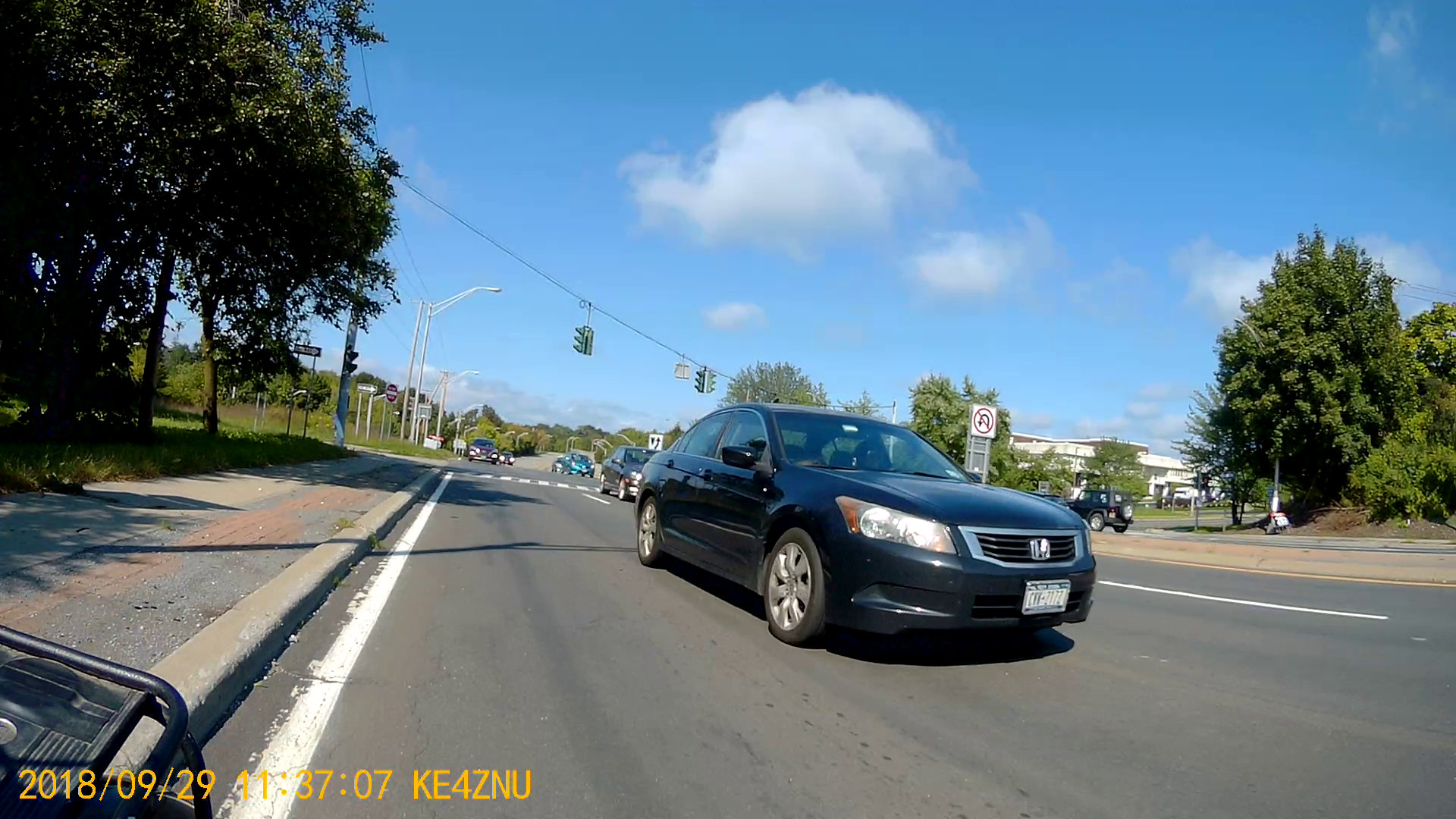
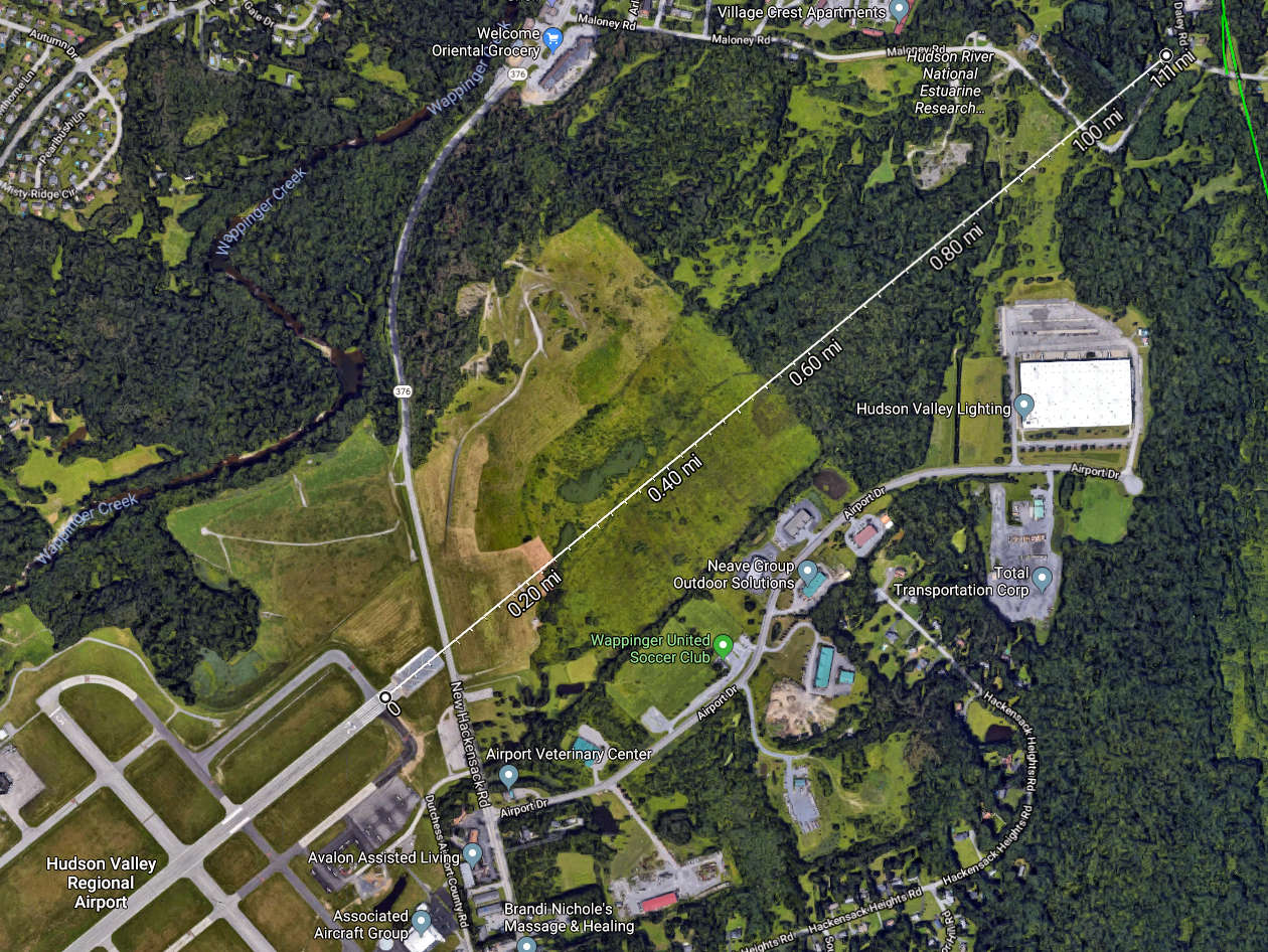
    Evidently, someone just discovered a body floating in a bend of the small creek off to the left.

    My helmet camera prompted some attention, although nothing of interest was visible from the road. A few days later, whoever owned the property bulldozed a substantial berm along the far shoulder to prevent random strangers from just driving in and doing whatever. A week or so later, a call from another police agency had me explaining I don’t have video records of the creek or of any activity, suspicious or otherwise.

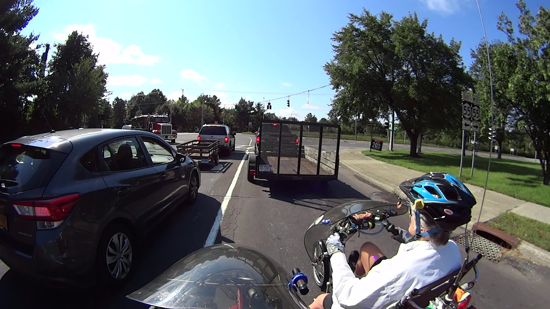
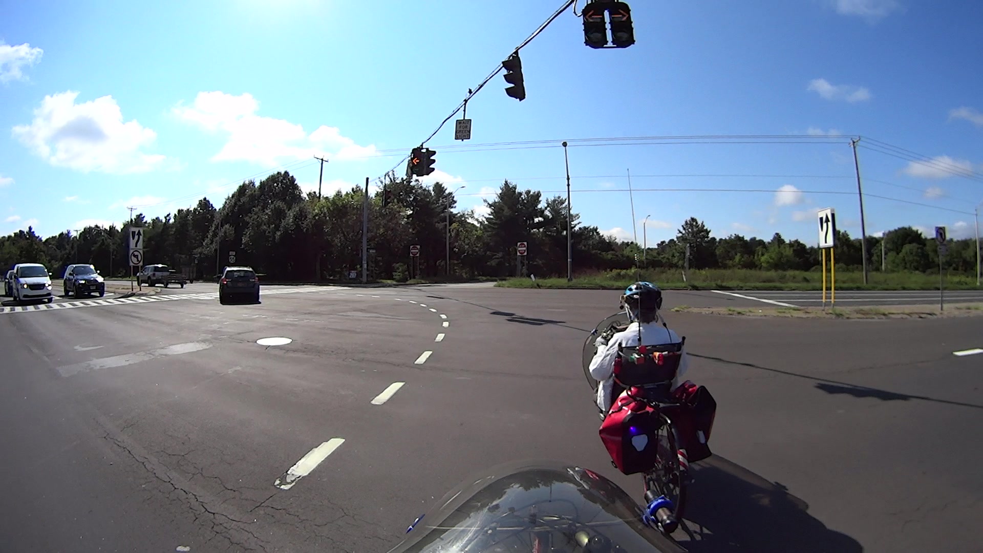
    Another traffic stop concerned a specific vehicle allegedly involved in an attempt to pick up abduct a girl from a school bus stop:

    Traffic Stop - Jackson Drive - 2018-09-22
    Traffic Stop – Jackson Drive – 2018-09-22

    In both cases, all my paperwork was up to par and I just rolled on through; it doesn’t always work that way.

  • Burnett Blvd Signals: Five More Seconds!

    My most recent description of not quite getting killed in front of the NYS DOT Region 8 office evidently did some good. Although I wasn’t informed directly, this happened:

    The minimum green time was increased to 10 seconds.

    Which is five more seconds more than before, allowing us to get nearly all the way through the intersection before crossing traffic on Rt 55 gets a green light.

    As before, the numbers are video frames at 60 fps.

    T=0.0 – Burnett signal goes green:

    Burnett - New signal timing - 0101 - 2018-09-30
    Burnett – New signal timing – 0101 – 2018-09-30

    T=2.5 – The trailer ahead of us starts and we’re rolling:

    Burnett - New signal timing - 0251 - 2018-09-30
    Burnett – New signal timing – 0251 – 2018-09-30

    T=8.0 – We reach the Burnett crosswalk. Note the car beside us isn’t making much headway, either:

    Burnett - New signal timing - 0581 - 2018-09-30
    Burnett – New signal timing – 0581 – 2018-09-30

    T=11.93 –  Burnett signal goes yellow overhead, so the green phase lasted 12 seconds:

    Burnett - New signal timing - 0817 - 2018-09-30
    Burnett – New signal timing – 0817 – 2018-09-30

    T=16.16 – Rt 55 signal remains red, but will change within a second:

    Burnett - New signal timing - 1071 - 2018-09-30
    Burnett – New signal timing – 1071 – 2018-09-30

    Seen from the rear view camera, the Rt 55 signal went green while we were still in the intersection:

    Burnett - New signal timing - 16 s - crossing green - 2018-09-30
    Burnett – New signal timing – 16 s – crossing green – 2018-09-30

    You’ll note the cars on Rt 55 behind us weren’t visible three seconds earlier, so, as far as they can tell, we’re running the red.

    Fortunately, we’re almost where we need to be:

    Burnett - New signal timing - 22 s - traffic - 2018-09-30
    Burnett – New signal timing – 22 s – traffic – 2018-09-30

    The timing still isn’t safe, but after three years, five more seconds counts for a lot!

  • Brush Clearing

    Some recent brush-clearing along our usual bicycle routes:

    This slideshow requires JavaScript.

    The bushes with oval leaves are Blackthorn, of which Wikipedia says “The shrub, with its savage thorns, is traditionally used […] to make a cattle-proof hedge.” They’re commonly found along the untamed border of Rt 376, as well as the rail trail.

    It’s more effective than expecting my tax dollars to wake up and get to work …

  • MPCNC: Re-Relocated Probe Camera

    Although the camera doesn’t hit anything, it seemed entirely too exposed out in front:

    MPCNC - relocated camera - front view
    MPCNC – relocated camera – front view

    So I moved it to the back, where I can’t see it and maybe won’t clobber it:

    MPCNC Re-Relocated USB Camera
    MPCNC Re-Relocated USB Camera

    The camera sensor is now almost exactly aligned with the XY axes, so the goofy rotation is gone and the offsets look better:

    bCNC - Rear-mount Camera Probe Config
    bCNC – Rear-mount Camera Probe Config

    The size of the “10 mm” inner circle at the crosshair depends on the target distance, so it’ll be smaller for surfaces clamped onto and thus rising above the table. Depending on how much that matters, I can tweak the camera focus and scale factor to make the answer come out right.

    The setup at the home position looked like this from a different perspective:

    MPCNC - Rear-mounted USB Camera
    MPCNC – Rear-mounted USB Camera

    No operational change, just a cleanup.

  • Mid-Hudson Bridge: Evening

    Seen from the Walkway Over the Hudson during a Moonwalk:

    Mid-Hudson Bridge - Moonwalk
    Mid-Hudson Bridge – Moonwalk

    Taken with the Pixel XL braced on the railing. It has a good camera, but good low-light photography requires bigger pixels, more lens, and less compression.

    The bright white block just to the right of the left tower comes from construction lighting in the new Vassar hospital building.

  • Gulfstream V on Final to KPOU

    This corner on Maloney Rd is almost exactly one mile from the end of Hudson Valley Regional Airport Runway 24:

    Maloney to KPOU map
    Maloney to KPOU map

    So it’s not unusual to ride under a small plane on final approach. Having a Gulfstream V fly directly overhead, however, is a real attention-getter:

    Gulfstream V on final - Maloney Rd - 2018-08-26
    Gulfstream V on final – Maloney Rd – 2018-08-26

    What’s not at all obvious from the picture is how big a GV looks when seen directly overhead through those trees just ahead on the corner where our paths crossed. There’s a 360 ft (above sea level) hill directly on the flight path, so it’s at maybe 600 ft ASL and 400-ish ft AGL.

    Thrust-reversal thunder rolled over us 50 seconds later, as we rode up the rail trail access ramp. Figuring we’re 15 sound-seconds from the strip, the GV was 30 seconds from touchdown.

  • Sinking of the USS President Coolidge: Photo Source

    While staying at the Witherup House in Franklin PA, I found :

    Colliers Photographic History of World War II - cover
    Colliers Photographic History of World War II – cover

    It was published in 1946, when memories were fresh and ISBNs hadn’t yet been invented:

    Colliers Photographic History of World War II - copyright 1946
    Colliers Photographic History of World War II – copyright 1946

    Paging through it, I found a photo similar to one I’d grown up with (clicky for more many dots):

    USS President Coolidge - Abandon Ship - Colliers Photographic History of World War II
    USS President Coolidge – Abandon Ship – Colliers Photographic History of World War II

    None of those guys look like Dad.

    Many of the events in World War II made little sense until the declassification of the Enigma decryptions and the ensuing Ultra / Magic programs showed the value of weaponized math …