The driver gave us plenty of room, which is always nice:
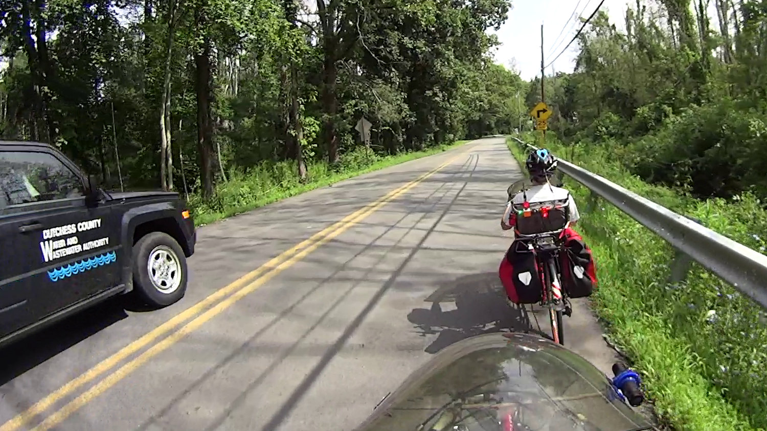
But then the SUV turned into the Maloney Rd entrance to the Dutchess Rail Trail:

Which was specifically designed to exclude motor vehicles:

Later, I was told it’s an “allowable access” for Water Authority vehicles and, in any event, because their SUV didn’t leave the biggest ruts and tracks, they think it’s all good:

The ramp joins the trail at an acute angle, so the SUV required some backing & filling to get around:

Then it’s an easy drive to the water meter about 2500 feet down the trail:

There’s an Official Vehicle Access gate one mile south of the Maloney ramp that’s about 3800 feet from the water meter. I’m told they use the Maloney ramp to reduce the distance they drive on the rail trail; evidently, destroying the entrance Just Doesn’t Matter.
I’m trying to develop an attitude between Zen and apathy, with just enough indifference to not care when somebody tells me how wonderful things will be in the future.

Comments
7 responses to “Dutchess Rail Trail: Maloney Rd Trailhead vs. SUV”
Ummm… don’t you already live in the future? :)
I do!
They call me cynical and bitter, but it’s because I know how their promises turn out: I’ve already been there, done that, and have the pix.
Well played sir :)
I’m kind of on the fence about this one – tear up the entrance, versus tear up less of the (typically very thin on a bike trail) pavement. Hmm. I think I remember someone who could fix them up with an electric longboard, now that I think about it… complete with Safety Enhancing Lighting. That would work well.
Turns out the water meter is at the bottom of a loooong staircase, right over the water main, so they could park at the top of the stairs, walk to the bottom, read the meter, and never touch the trail with their tires.
Or, hey, they could ride a bike from the office a few miles up the trail, check out all the meters, and use the trail as intended.
It seems those options never appeared on the table.
[…] seems the DCW&WA SUV makes regular trips through the “No Motor Vehicles” bike […]
[…] Some backstory may be of interest. […]