The remnants of Hurricane Ida dropped half a foot of rain in our area, so we walked to the remains of the Red Oaks Mill Dam to see the water:
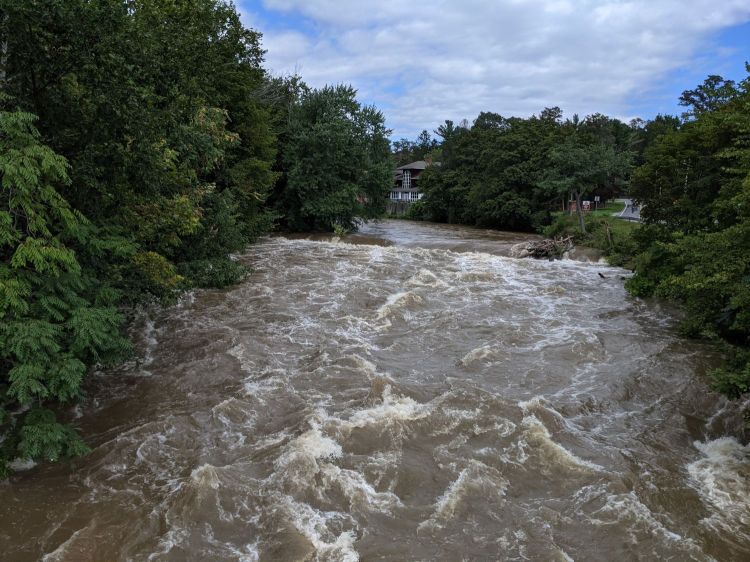
The white water crests stand in place over rocks in the stream bed, with hypnotic flowlines.
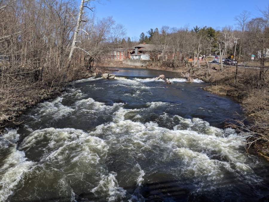
The concrete abutment over on the left is now completely submerged. It was more conspicuous in May:

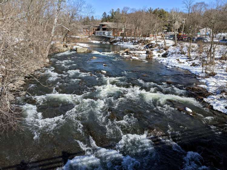
Surprisingly, most of the tree trunks and debris collecting over on the right remain jammed in place, as seen in March:
For completeness, the scene in February:
The USGS has a hydrology station just downstream that reported about 10 feet of water, the “moderate” flood stage, around the time I took the first picture. The normal level is 3 feet.
The “major” flood stage is 14 feet and, back in 2007, this is what it looked like at 15 feet:

Our reference point is a drain pipe on the retaining wall behind the hotel: when the Mighty Wappingers Creek covers the pipe, it’s well and truly flooding.
Searching for “red oaks mill dam” will surface more pix and stories.
