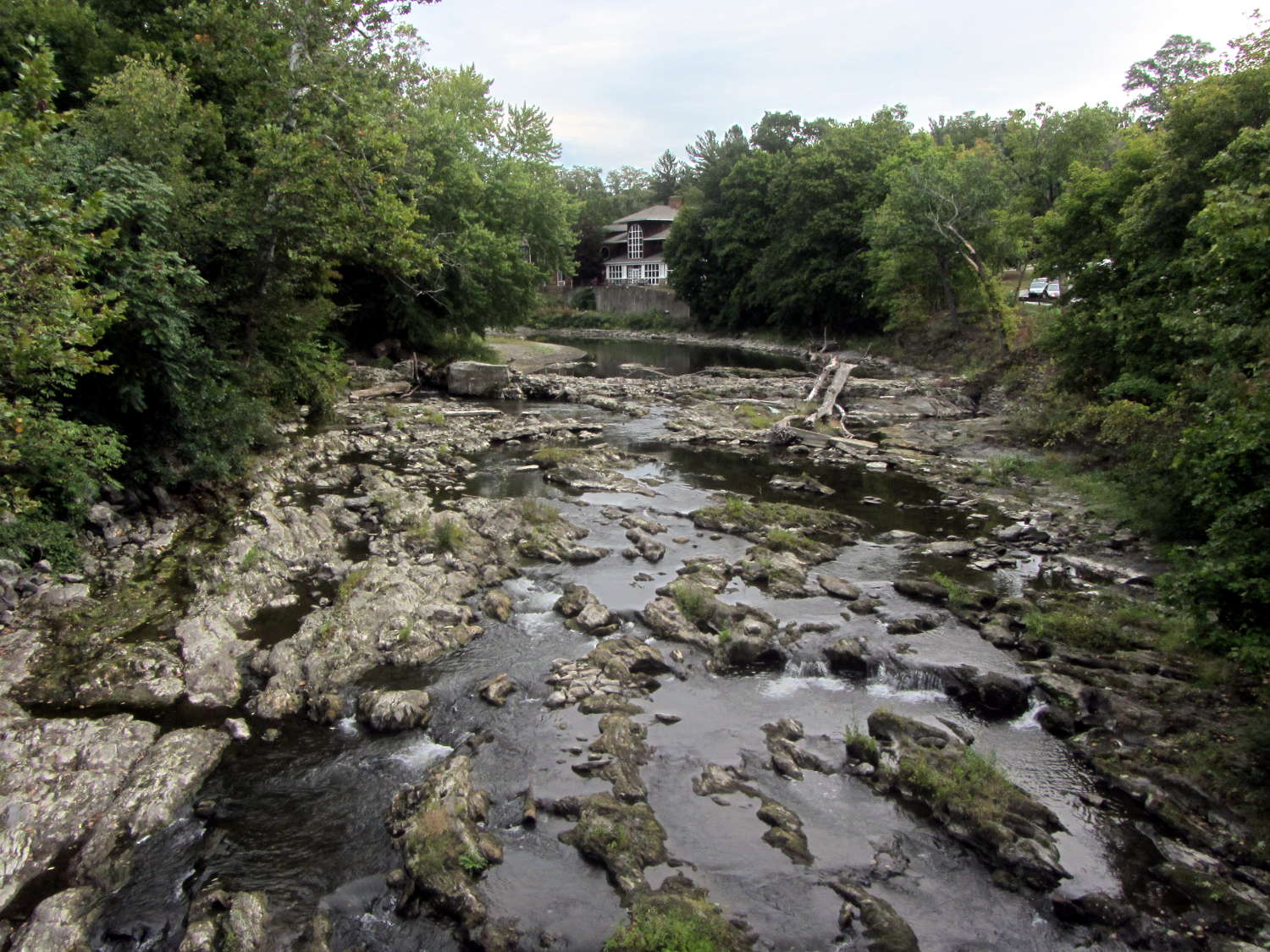
The Mighty Wappinger Creek runs low after months with very little rain and we saw more of the rocky streambed than any time in recent memory:
Much of the deteriorated Red Oaks Mill Dam stands high and dry:
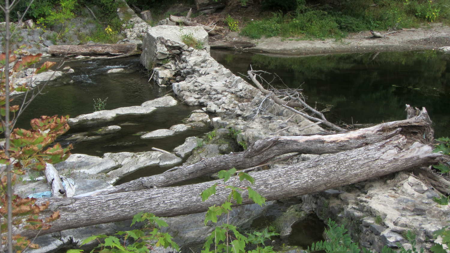
Just upstream from the bridge, you can see how water carves potholes into the rock:
Back in the day, my parents took us to see the far more impressive Susquehanna River potholes (*) near Harrisburg. They range from finger-size pits up to craters large enough to comfortably hold an adult. I’m sure one of their photo albums, now tucked in our closet, contains similar pictures of those holes.
Searching for red oaks mill dam will turn up previous posts and pictures for comparison.
(*) Exploration of the pages linked there will show how, with sufficient mental effort, one can force-fit a non-erosion-based explanation of eroded potholes to match a pre-conceived timeline and narrative. Your opinion of that narrative and the effort required to fit evidence into it may differ from mine.

Comments
3 responses to “Monthly Image: Potholes in Wappinger Creek at Red Oaks Mill”
Taking the creationist approach, this certainly proves that NYS DOT already existed during the time of the Great Flood.
Well played, sir!
Such a shame that the author of that linked website chose to believe Geikie and yet chose to ignore earlier Scottish geologists like Hutton and Miller, who happened to be right. If you’re stuck for reading material, Jack Repcheck’s “The Man Who Found Time: James Hutton and the Discovery of the Earth’s Antiquity” is a good ‘un.