Ed Nisley's Blog: Shop notes, electronics, firmware, machinery, 3D printing, laser cuttery, and curiosities. Contents: 100% human thinking, 0% AI slop.
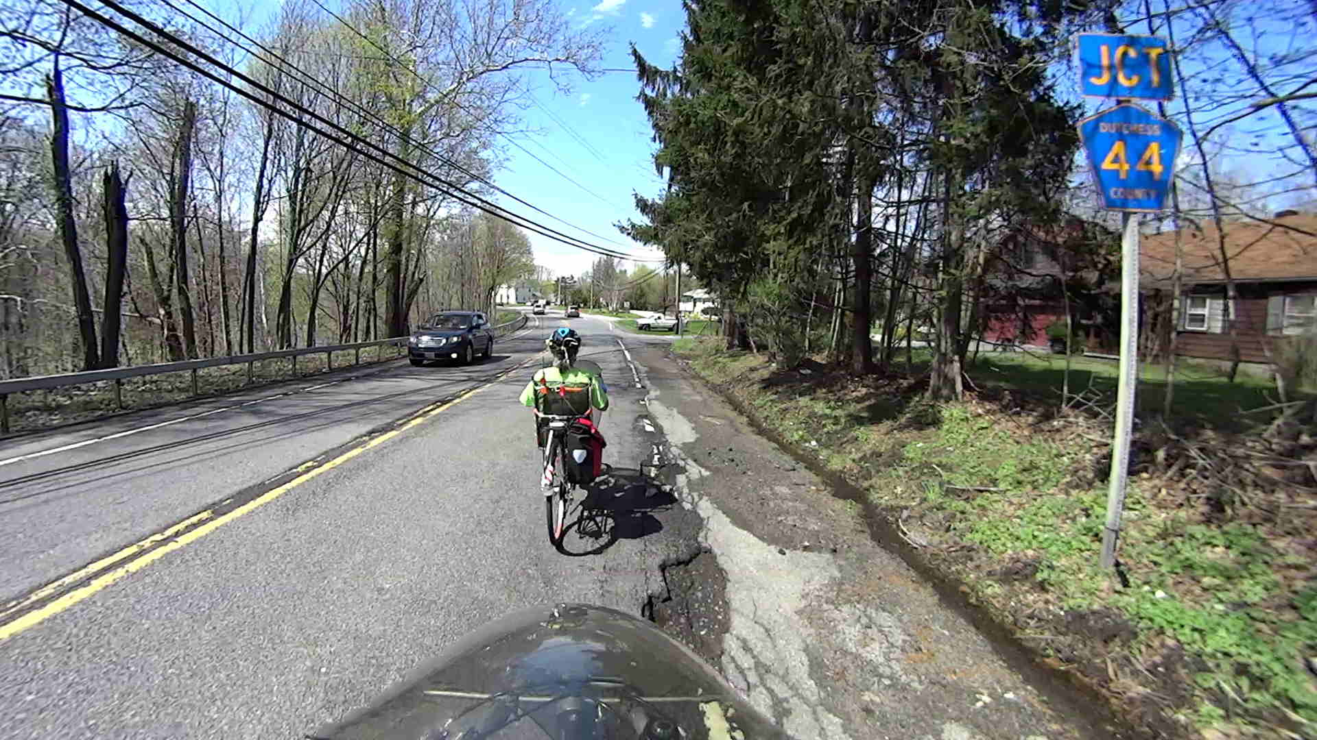
Some years back, NYSDOT resurfaced Rt 376 by laying an inch of asphalt atop the crumbling surface, but the underlayer continues to deteriorate and the top coat delaminates.
The situation at Westview Terrace, just south of Red Oaks Mill (clicky for more dots):
Delaminated Asphalt – Rt 376 at Westview Terrace
The patch just to my right is a hand-tamped cold patch job, which obviously isn’t sufficient to repair the damage.
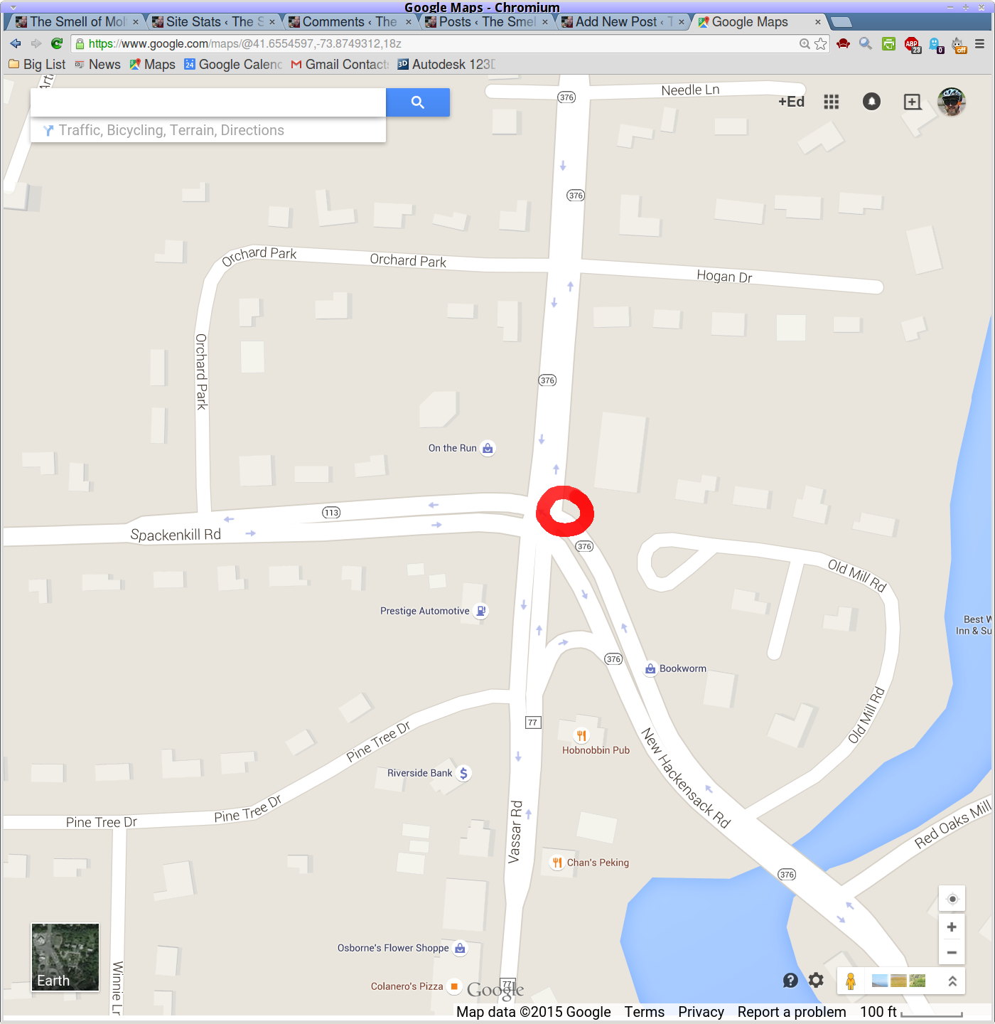
Locator:
Delaminated Asphalt – Rt 376 at Westview Terrace – map
We’ve been told that NYSDOT no longer does proactive maintenance: until somebody calls in a problem, it’s not their problem. I’m starting to document problems here as part of the record.
It’s the start of a new riding season and we’re returning from a concert at Vassar. I’m cranking 20+ mph, pushed by a gusty tailwind.
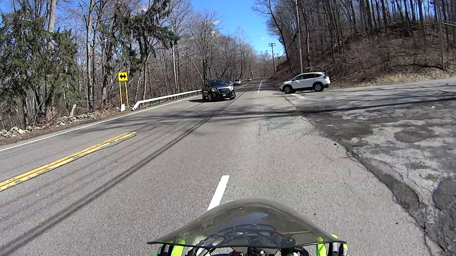
T minus 7 seconds:
Cedar Valley Rd – Left Cross – T-7
The white car approaches the intersection a bit faster than usual, which leads me to expect a New York State Rolling Stop-and-Go right turn directly in front of me.
T minus 5 seconds:
Cedar Valley Rd – Left Cross – T-5
The white car slows enough that I now expect a stop with the front end well onto the shoulder. A quick check in the mirror shows no traffic behind me: I can take the lane if needed. This intersection always has a large gravel patch spanning the shoulder, so I must move closer to the fog line anyway.
T minus 2 seconds:
Cedar Valley Rd – Left Cross – T-2
The white car comes to a full stop, not too far onto the shoulder, and my fingers come off the brakes. I gotta work on that fingers-up position, though.
… Whoops, a classic left cross from the black SUV!
T minus 1 second:
Cedar Valley Rd – Left Cross – T-1
I’m now braking hard, barely to the left of the gravel patch.
T zero:
Cedar Valley Rd – Left Cross – T-0
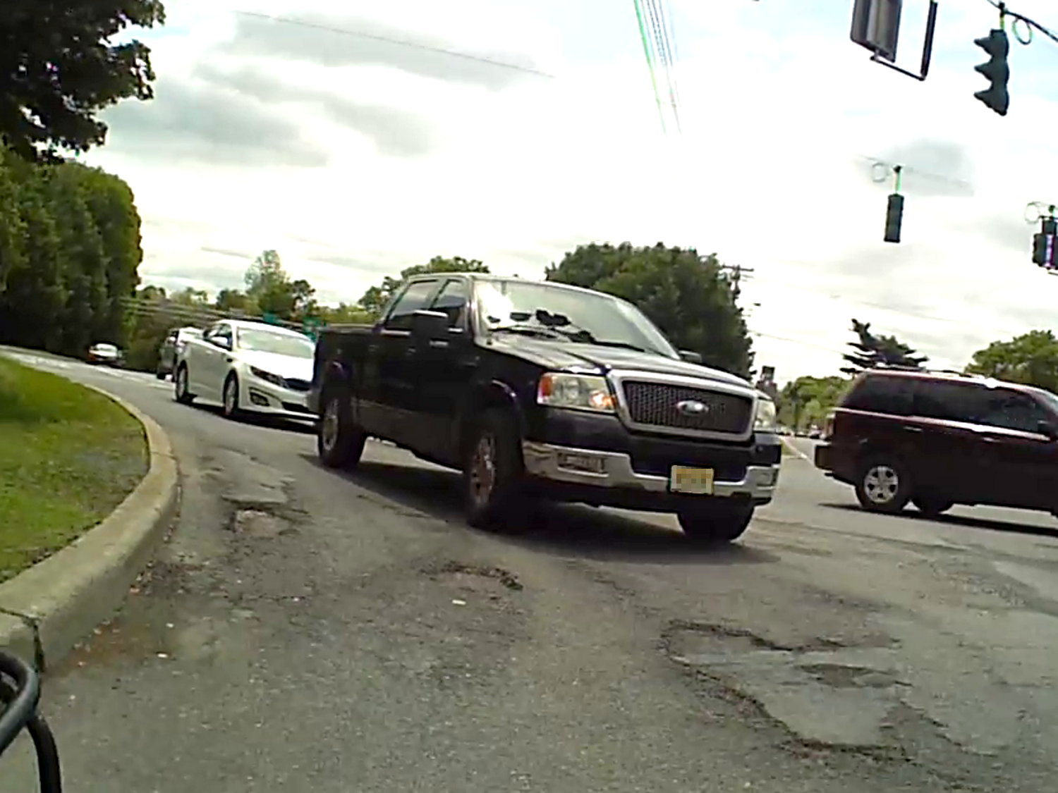
Well, that was close.
Somewhat to my surprise, the white car hasn’t crept any further onto the shoulder.
The SUV driver gives me a cheery wave, as if to thank me for not scratching the doors. I never make hand gestures, but I did tell him he does nice work.
It is, apparently, easy to mis-judge a bike’s speed, although driver-ed courses used to recommend that you err on the side of not trying to beat an oncoming vehicle. Perhaps that recommendation has become inoperative?
The corresponding maneuver by a car passing you is known as a right hook.
Memo to Self: Always look at the license plate to give the camera a straight-on picture.
The NYS DOT’s original planning documents said that roundabouts / rotaries weren’t optimal for pedestrians or bicyclists or large trucks, but, because DOT likes rotaries, that’s what they built on Raymond Avenue. However, they didn’t relocate the drainage lines under the road and left some catch boxes in awkward spots.
This Google Street View image from a few years ago shows the College Avenue intersection from northbound Raymond Avenue, with the catch box in the lane:
Google Street View – Raymond northbound at College
Raymond is basically the only bicycle route into Arlington from the south and has “shared roadway” signs, but the design flat-out doesn’t work for bikes and the implementation leaves a lot to be desired.
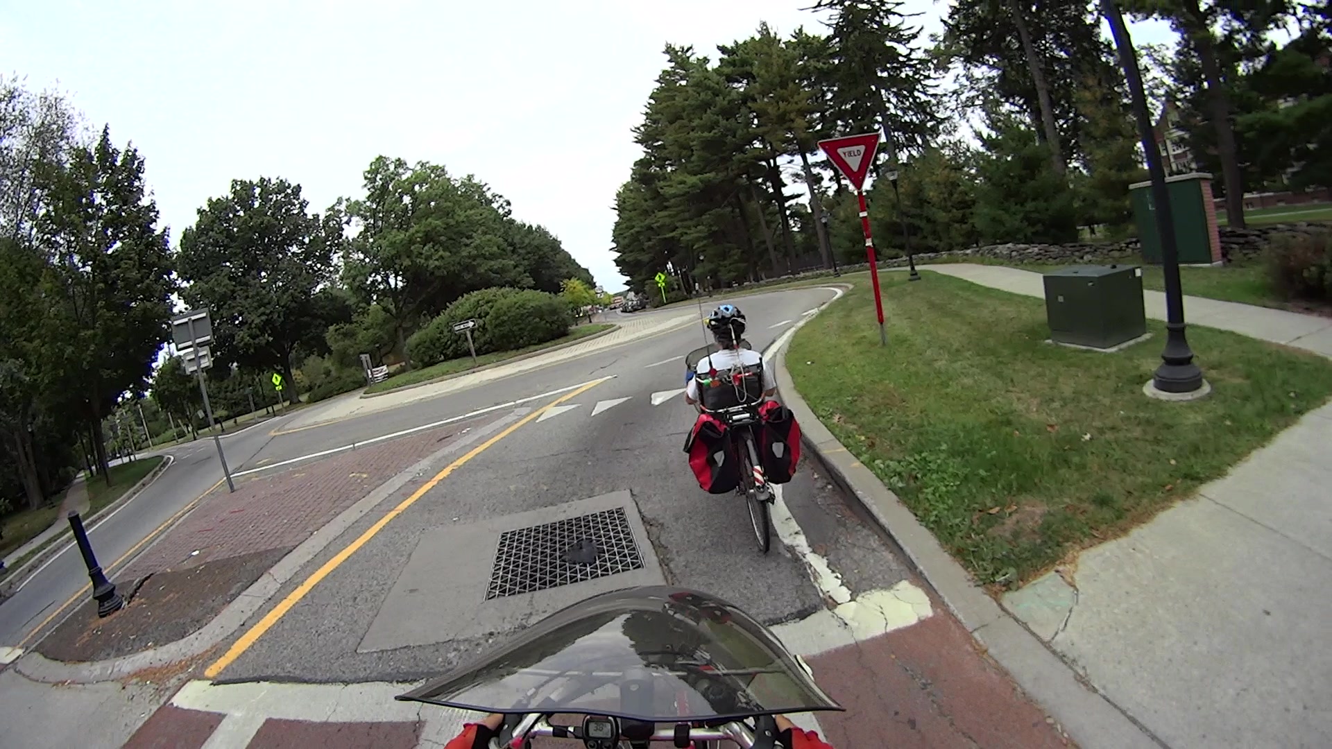
Here’s what it looks like from the bike:
MAH00138-2014-09-28-095
Note the deteriorated asphalt and longitudinal cracks near the white fog line next to the curb. That forces bike traffic another few feet into the deliberately narrowed traffic lane at the entrance to the intersection.
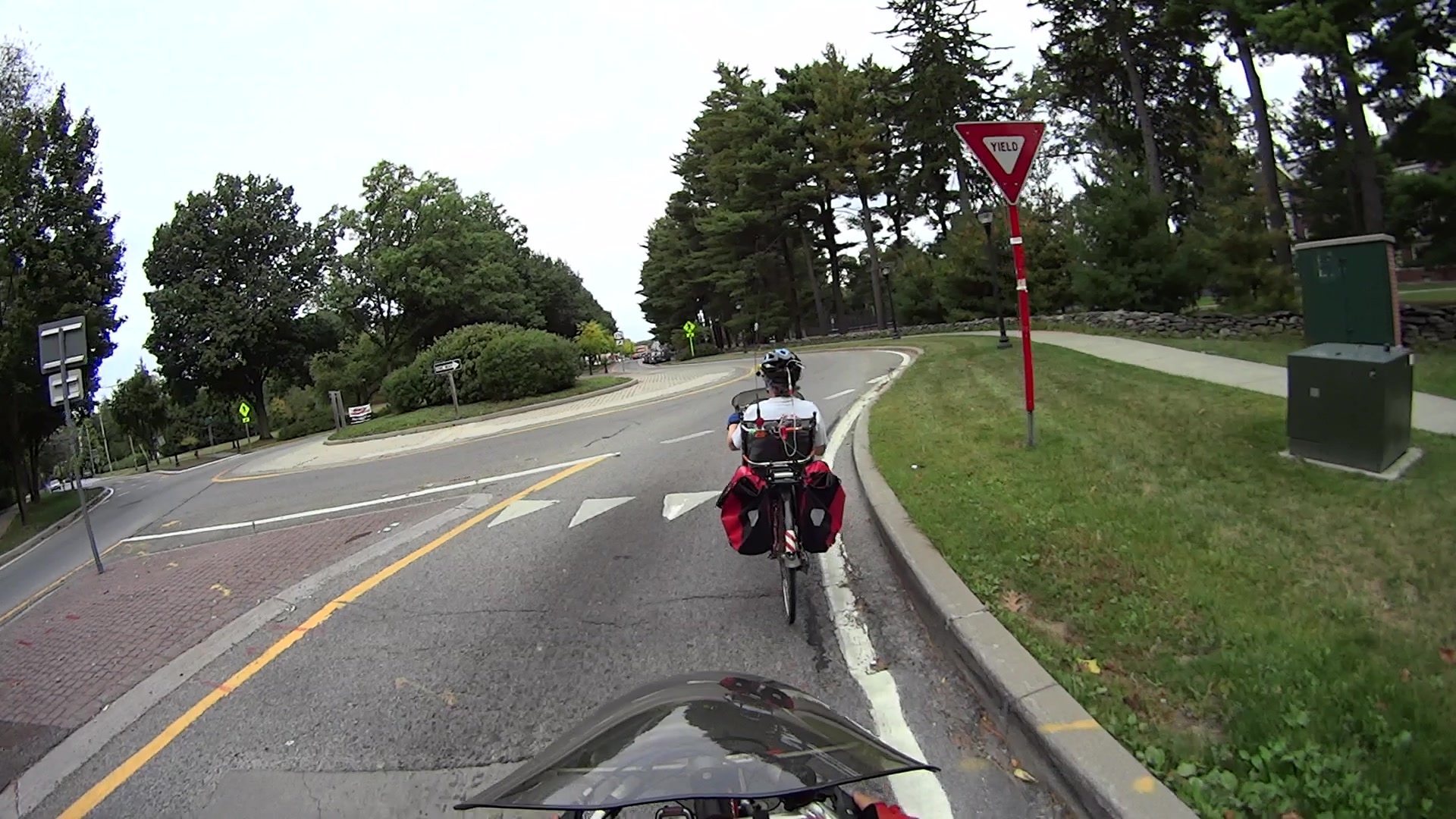
Mary’s about as far to the right as practicable (that’s a legal term):
MAH00138-2014-09-28-155
I’m angling over from the middle of the lane, because, unless I take the lane, motorists will attempt to pass us in the rotary entrances. The asphalt on the far side of the box has subsided several inches into a tooth-rattling drop, you can see the crevice adjacent to the right side of the box, and I know better than to cross steel grates while turning.
Notice that the Google view shows four bollards marking what DOT charmingly calls the “pedestrian refuge” in the median, but only two appear in my pictures. NYS DOT recently removed half the bollards from each refuge and relocated the remainder, apparently to reduce the number of street furniture targets. Early on, they were losing one bollard per intersection per year, but that’s slowed down now that they’ve stopped replacing smashed hardware.
It was never clear to me why putting nonreflective black bollards a foot or two from the traffic lane made any sense, but that’s how it was done. Most of the relocated bollards stand close to the center of the median, so maybe it didn’t make any sense.
Anyhow, bikes can’t stay too far to the right after the box, because the asphalt has crumbled away in furrows around Yet Another Crappy Patch:
MAH00138-2014-09-28-184
That’s pretty much the state of the traffic engineering art around here. A while back, the NYS DOT engineer in charge of the project assured me it’s all built in compliance with the relevant standards.
It’s worth noting that Mary’s on the Dutchess County Bicycle and Pedestrian Advisory Committee, so we volunteered to count cyclists and pedestrians on Raymond a few months ago. When I say that we’re essentially the only cyclists riding Raymond Avenue, we have the numbers to back it up. Everybody else rides on the sidewalks, despite that being of questionable legality and dubious for pedestrian safety, because, well, you’d be crazy to ride in the shared roadway.
After years of neglect, an NYS DOT crew started a really nice repair job on the inside edge of the curve just north of our house. They milled out the deteriorated road surface, cleaned out the debris, and laid in a patch flush with the road surface. That’s quite unlike their usual shovel-some-cold-patch / hand-tamp / drive-over-it process, made familiareverywhere elsearound here.
Unfortunately, for unknown reasons, they didn’t fill in the last two feet of the milled-out trench, leaving a tooth-shattering pair of perpendicular edges exactly where you’d least expect them:
Rt 376 north of Heathbrook – unfinished patch
Ran out of asphalt? Lunch break? Called off to another emergency? We’ll never know.
I sent a note, with that picture, to the NYS DOT Bicycle & Pedestrian Coordinator, asking what happened; perhaps they planned another layer atop the whole curve to seal the rest of the cracked pavement?
The next day a crew filled in the hole, which I find far more than coincidental.
Although it’s better than it was, there’s now a joint that will deteriorate more rapidly than the uniform asphalt layer they should have created.
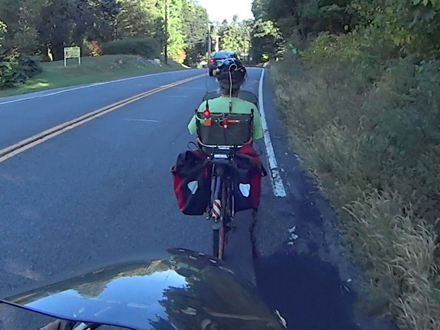
Mary finished out the National Bike Challenge with a rank of 3353 of 47 k riders, which, by my reckoning, is wonderfully good. She’s #1 in the Poughkeepsie area (admittedly, of only eight riders), with the second-place rider at 90% of her point score.
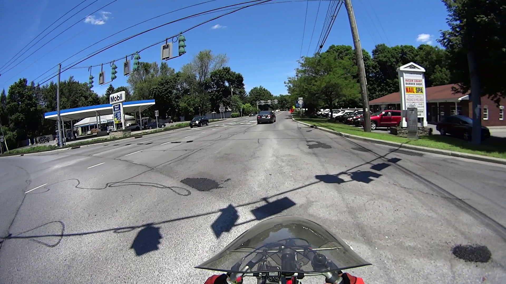
She did it by riding on her usual missions, along our usual routes, around the usual obstacles:
NYS Rt 376 at Westview Terrace
Her bike odometer recently rolled past 20 k miles; at least one battery change stole a pile o’ miles from her total, so the bike has accumulated more than that.
As the song goes, my gal is red hot… in the best way!
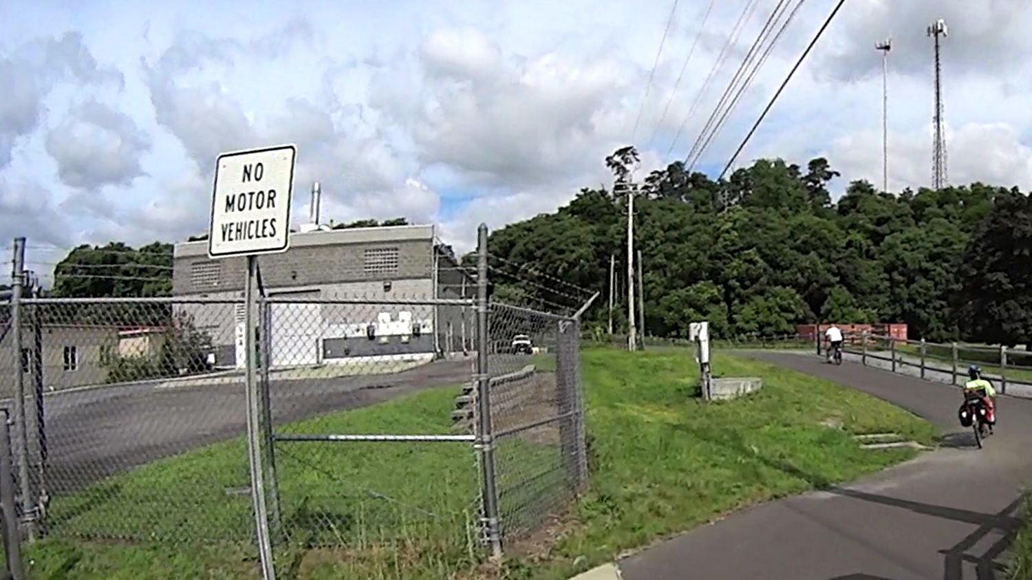
The signs at every Dutchess Rail Trail grade crossing and access point seem unambiguous:
DCRT – No Motor Vehicles
More specific signs appear at random intervals along the trail:
DCRT – All Terrain Vehicles Prohibited
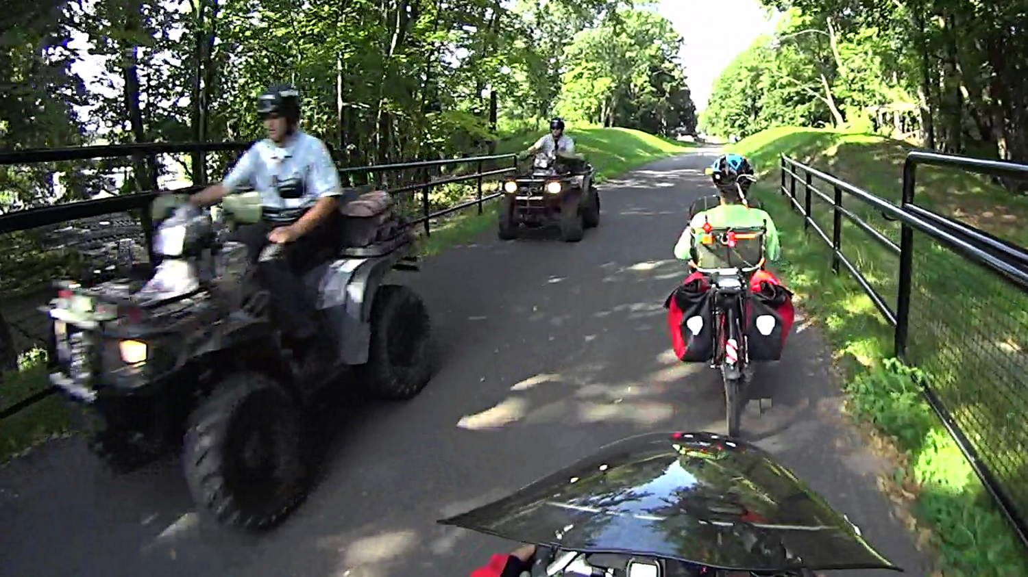
You can’t see it, but every sign includes an invisible asterisk introducing the invisible clause “Except Cops”:
DCRT – Sheriff ATV Convoy
Back when the Dutchess County deputy sheriffs rode huge ATVs that occupied nearly the entire paved trail and bulldozed everybody out of their way, I had the temerity to ask why they weren’t riding bikes. The deputy sheriff told me, rather condescendingly, that they had to be prepared for anything and that there had already been incidents.
These little ATVs aren’t quite so imposing and, more likely, also fit on the new bridges and between the bollards, which may explain everything.
I’ve seen what might be their best use case, although ambulances can attract your attention without an ATV escort:
DCRT – Sheriff ATV Leading Ambulance
Straight up, I have no objection to police patrols on the rail trail.
I do object to the official mindset that simply adds an invisible exception to any inconvenient rule.
As I see it, the root cause of the militarized police and extralegal government activities we’ve seen across the country in recent years boils down to “That law / regulation / rule does not apply to us, because we are the government.”
I can ride the length of the DCRT and back in about two hours, averaging 12 mph, without getting particularly sweaty in the process; the track in that link shows a three hour ride that includes the HVRT and a Walkway scrum, plus the ride from and to home. A police ATV can’t go much faster than that on the trail, even with lights and sirens, because oblivious pedestrians keep getting in the way.
If an officer on a bike can’t keep up with me, then something has gone badly wrong with the job requirements for becoming a deputy sheriff.
As far as “being prepared for anything” goes, the cargo capacity of those little ATVs rules out a bunch of hardware that fit in the big ones: anything seems an elastic concept. A bike can carry enough equipment for many incidents; my tool kit weighs more than some bike frames, the packs have plenty of room to spare, and there’s always the trailer option. I doubt genuine Mil-Spec assault rifles would come in handy on the rail trail.
It’s also not clear why an officer on a bike can’t call for the same backup as an officer on an ATV: those buggies lack fancy VHF antennas, so they’re using a hand-held radio or phone. The 5 W amateur radio on my bike, through a mobile VHF antenna on a crappy ground system, can easily reach local amateur radio repeaters and APRS nodes. Many pedestrians seem absorbed with their phones, so getting microwaves into and out of the trail doesn’t pose much of a problem.
Cops-on-bikes present a much less aggressive aspect than cops-on-ATVs who ignore the rules that apply to the rest of us.